Local guide
Kelowna neighbourhoods explained: from Downtown to Rutland
Kelowna draws its map in sectors and argues about the names: Downtown towers, the Pandosy village, Dilworth's high ground, Rutland's self-contained grid and the bench neighbourhoods climbing toward the wineries.
Written by Okanagan Business Directory
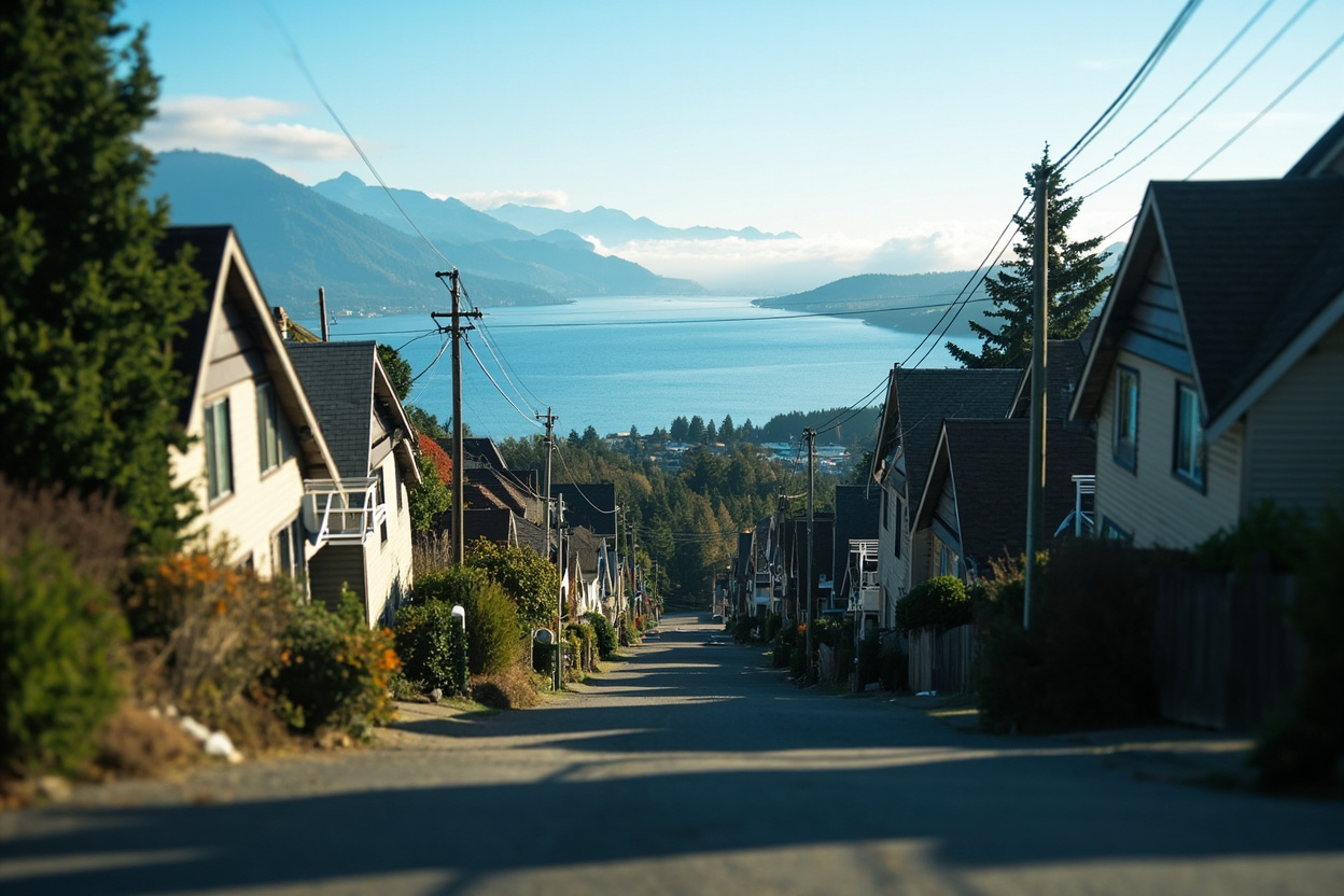
Kelowna is too big for one main street and too young for one history, so it plans in sectors and lets the names argue among themselves. What follows is the map locals actually use, district by district, with the caveat that nobody agrees where one ends and the next begins.
Downtown and the North End
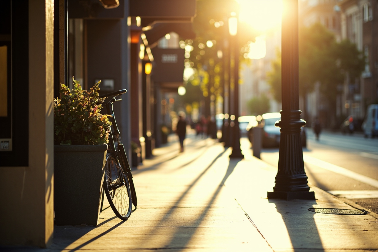
The tower district runs from the bridge approach to Cawston, holding the offices, apartments and most of the walkable retail. Mosaic Books anchors the core's last block of old-fashioned storefronts. One district north, the North End turned its industrial sheds into breweries and tasting rooms, Kettle River Brewing among them, with the rail trail running through the middle.
Pandosy and Lower Mission
South of the bridge, Pandosy Street is the valley's most walkable urban village, and the grocery anchor Urban Fare marks exactly where the apartments stack up behind it. Lower Mission continues the same logic toward the lake at family scale; on hot afternoons the line outside The Mission Creamery is the neighbourhood's true census.

Glenmore and Dilworth
The high ground between downtown and the highway belt is mid-century housing on quiet grids. Dilworth holds the mall-side retail and bakeries like Wood Fire Bakery, while Glenmore keeps its own village strip around Tripke Bakery and the UBCO bus exchange.
Rutland and the hills
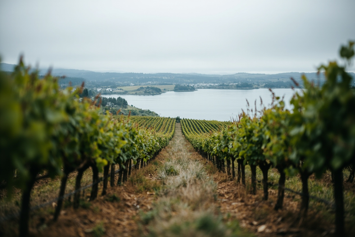
Rutland is the city's largest and most self-contained district, with its own main street strip, the most affordable housing in town and a brewing scene of its own led by Freddy's Brewing. Above it sit the bench neighbourhoods: Black Mountain's small wineries such as House of Rose Winery, Kettle Valley's mountain-village pocket where Carmelis Goat Cheese and Gelato draws day trippers, and Wilden's forested subdivisions out past Grey Fox Brewery's barn-sized taproom.
The short version for newcomers: pick your lake access first, your commute second, and only then argue about names. The region-wide pattern is explained in the valley-wide neighbourhood guide.
From the directory
Mentioned in This Article
Every place named above has its own page here, with the address, directions and a way to get hold of them.