Local guide
Oliver neighbourhoods explained: a linear town and its bench
Oliver keeps two official neighbourhoods and one long main street: the working strip along Highway 97 where the town actually lives, and the Golden Mile Bench above it doing what Oliver is famous for.
Written by Okanagan Business Directory
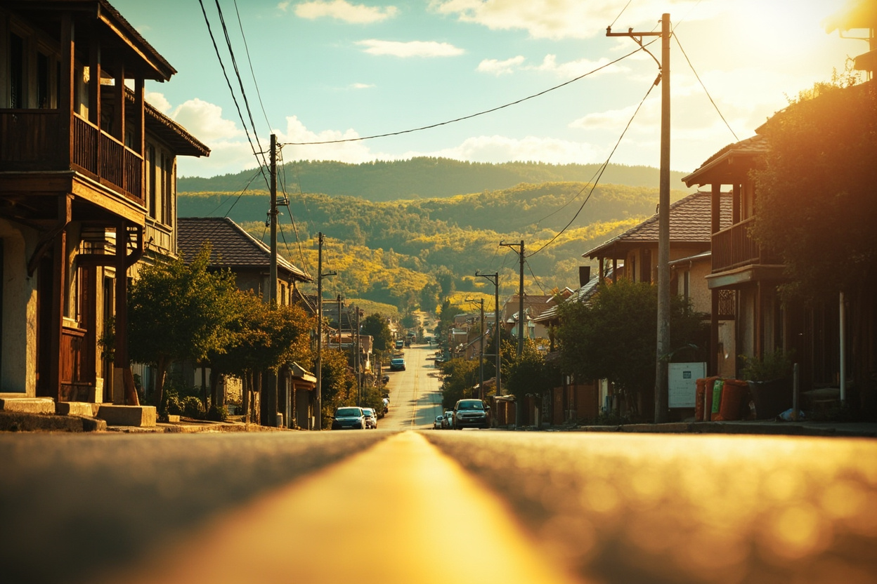
Oliver's map is almost embarrassingly simple: a town laid out flat along the railway and the highway, with wine country stacked on the bench beside it. The official count of neighbourhoods is two. The way people actually describe locations adds maybe three more zones, none of them official.
The downtown strip
Everything civic happens along the few blocks the highway runs through: the hospital, the pool, the curling rink and a compact band of storefronts. Mornings belong to Medici's Cafe and Gelateria and the ovens at Big Al's Bakery and Deli; dinner means the firehall-turned-bistro of Pappa's Firehall Bistro or the farm-forward plates at Oliver Eats. Between meals the shops carry the block: Redhead Market for groceries, Pacific Haven Landscape Supplies for the soil and stone the whole south valley builds with.
The grid behind the highway
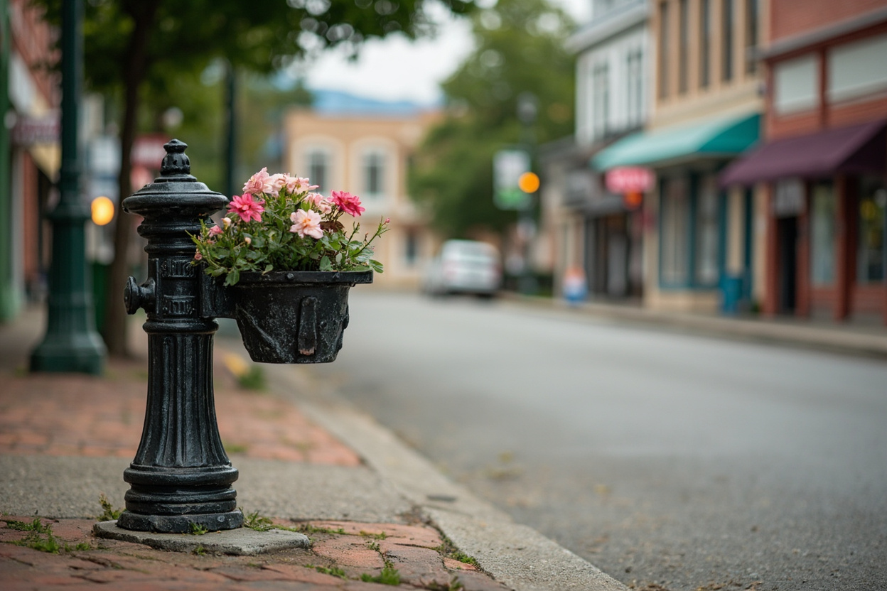
One street back from the traffic, Oliver turns quiet fast: postwar houses, orchard lots and the school fields. This is where the town actually lives while the highway does the selling, and the walk between the two takes about ninety seconds.
The Golden Mile Bench
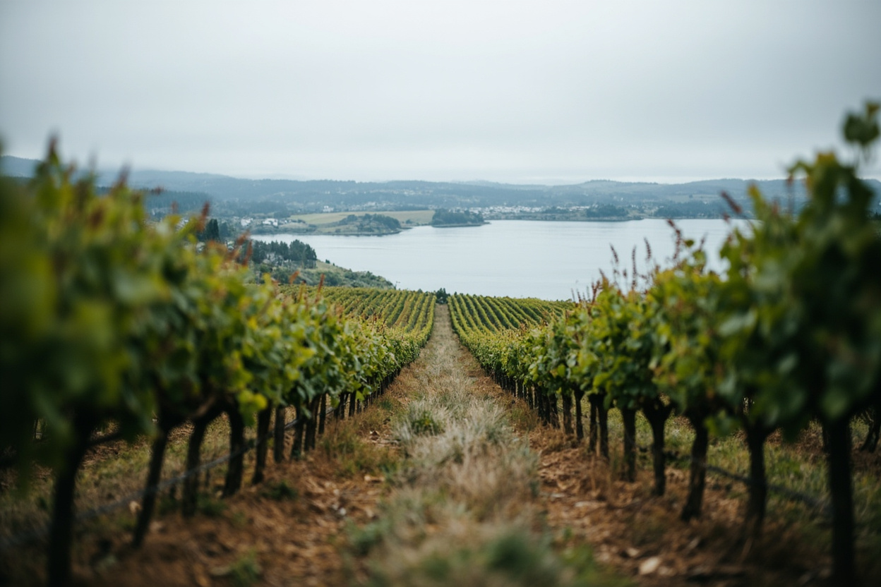
West of town, Highway 97's old alignment climbs onto the bench that gave the region its name, stringing vineyard after vineyard through some of the warmest growing ground in Canada. The addresses turn rural but the economy stays connected; tasting rooms such as Quinta Ferreira Estate Winery pour minutes from the centre of town, and harvest traffic ties both zones together every September.
Rhythm note: the town swells on weekends from spring onward, then goes properly local again by November. The region-wide pattern is explained in the valley-wide neighbourhood guide.
From the directory
Mentioned in This Article
Every place named above has its own page here, with the address, directions and a way to get hold of them.